Table of Contents
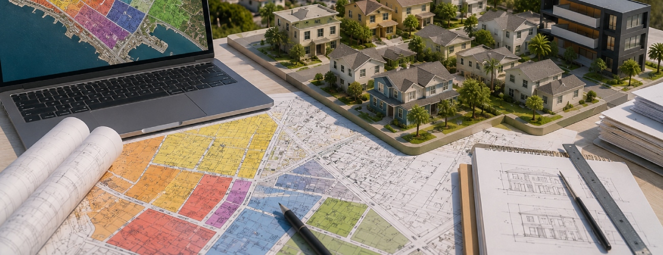
San Pedro’s residential land is zoned across a mix of R1, R2, R3, RD1.5, RD2, and commercial C2 designations, most of which carry an added San Pedro Community Plan Implementation Overlay (CPIO) that layers extra design and development rules on top of the base zone. Reading a zoning code off a listing sheet only tells part of the story — the CPIO suffix, height district, and any “Q” or “D” conditions attached to the parcel determine what’s actually buildable, and San Pedro is currently mid-transition through a citywide Zoning Code Update that can change what a designation means. This guide breaks down each zone, explains the overlay system, and shows exactly how to verify a parcel’s real designation before you buy.
What do San Pedro’s residential zones actually allow?
Most Los Angeles neighborhoods only require a buyer to check base zoning and standard entitlements. San Pedro adds three complicating layers that a generic due-diligence checklist will miss:
| Zone | Typical minimum lot area | What it allows | Where it shows up in San Pedro |
|---|---|---|---|
| R1 | 5,000 sq ft | Single-family detached | Vista del Oro, parts of Northwest San Pedro |
| R2 | 5,000 sq ft (2,500 sq ft/unit) | Two-family / duplex | Central and Northwest San Pedro |
| RD1.5 | 1,500 sq ft per unit | Low Medium II multi-family (density factor ~1.5) | Widespread across San Pedro’s Low Medium II designation |
| RD2 | 2,000 sq ft per unit | Low Medium multi-family | Mixed in with RD1.5 areas |
| R3 | 800 sq ft per unit | Medium-density multi-family | Along commercial corridors and Medium Residential areas |
| C2 | Varies by height district | Community Commercial — permits residential, hotel, retail, mixed-use | Harbor Boulevard, Crescent, Gaffey corridors |
These are the base zone standards. San Pedro’s Community Plan designations map several of these zones together — for example, the “Low Medium II Residential” land use designation covers RD1.5-1XL, [Q]RD1.5-1XL, and RD1.5-1 as alternate zone implementations of the same land use category. That means two parcels with the same general designation can carry different specific zoning strings, different height districts, and different conditions.
What does the “CPIO” suffix mean?
A Community Plan Implementation Overlay is a zoning tool the City of Los Angeles uses to layer design regulations, use restrictions, or development standards on top of a base zone without changing the underlying zone itself. In San Pedro, the CPIO (established under Ordinance No. 185,539) adds design and development standards across most of the plan area’s residential and commercial zones — meaning a parcel zoned “RD1.5-1XL-CPIO” is still fundamentally an RD1.5 lot, but with extra rules governing things like frontage design, articulation, and — in some cases — reduced or modified development limits relative to the base zone.
Where the CPIO does not apply: the Small Lot Design Standards note that Small Lot Ordinance provisions supersede a Specific Plan or other overlay district where they conflict — but every other legislatively adopted overlay not specifically exempted continues to govern. In practice, this means you cannot assume the CPIO is waived just because a project qualifies as a small lot subdivision; each standard has to be checked individually.
Reading the rest of the zoning string
A full San Pedro zoning designation typically looks like this: [Q]RD1.5-1XL-CPIO
- [Q] or [T]: “Q” indicates qualified conditions attached to the zone (restrictions beyond the base zone); “T” indicates a tentative classification that clears once a map records.
- RD1.5: the base zone (density factor of 1.5, meaning roughly 1,500 sq ft of lot area required per unit).
- 1XL, 1VL, 2D, etc.: the height district, which sets maximum height and, for commercial zones, floor area ratio (FAR). “1XL” is an “Extra Limited” height district; “2D” indicates a height district with an added development limitation.
- CPIO: confirms the parcel is subject to the San Pedro Community Plan Implementation Overlay’s added standards.
Any one of these components can restrict your project independent of the others — a parcel can have plenty of base-zone density allowance and still be capped by an “XL” height district or a “D” development limitation.
The San Pedro Zoning Code Update: why “current” zoning can shift mid-transaction
As of 2026, San Pedro is going through a citywide Zoning Code Update (ZCU) project that will eventually replace the existing zone strings with a new, form-based zoning system organized around form, frontage, development standards, use, and density modules. The city has stated a follow-on Local Coastal Program specific to San Pedro would come after the ZCU, following the same approach being used for Venice. Until that transition is finalized and adopted, a parcel’s applicable standards can be a moving target — a zoning verification obtained today should be treated as time-stamped, not permanent, especially for a project with a multi-month or multi-year entitlement timeline.
How to verify a San Pedro parcel’s actual zoning
- Look up the parcel in ZIMAS (Zone Information and Map Access System) to get the current zoning string, Community Plan designation, and any overlay flags.
- Cross-check the Community Plan Implementation Overlay map for the parcel’s specific block.
- Request a formal Zoning Compliance letter or Zoning Determination from LA City Planning’s San Pedro contact (planning.sanpedro@lacity.org) rather than relying on the online tool alone — self-service data can lag recorded ordinances by weeks or months.
- Ask specifically whether the parcel is affected by the pending Zoning Code Update, since a designation in transition changes the risk calculus for a multi-year project.
- Confirm any “Q” or “D” conditions in writing, since these often aren’t visible in a simple zone-string lookup and can materially restrict use.
Zoning scenario: two adjacent San Pedro lots, two different outcomes
Not for every parcel, but it’s required for hillside or landslide-history areas, and City Planning can require one as a condition of subdivision approval even outside those areas if site conditions warrant it.
FAQ
What’s the difference between RD1.5 and RD2 zoning in San Pedro?
Both are multi-family residential zones; RD1.5 requires roughly 1,500 sq ft of lot area per unit (denser) while RD2 requires roughly 2,000 sq ft per unit (less dense). The exact allowable unit count depends on the parcel’s total lot area and any overlay conditions.
Does a CPIO overlay make a San Pedro lot less buildable?
Not necessarily less buildable, but more regulated — the CPIO typically governs design and articulation standards rather than blocking use outright. It can, however, add review steps and design conditions that affect cost and timeline.
Can I trust a real estate listing’s stated zoning for a San Pedro parcel?
Contact LA City Planning’s San Pedro staff directly (planning.sanpedro@lacity.org) or request a formal Zoning Compliance determination; do not rely solely on third-party zoning lookup tools.